
A two-island oasis: Islas Tortugas, Costa Rica
May 2015
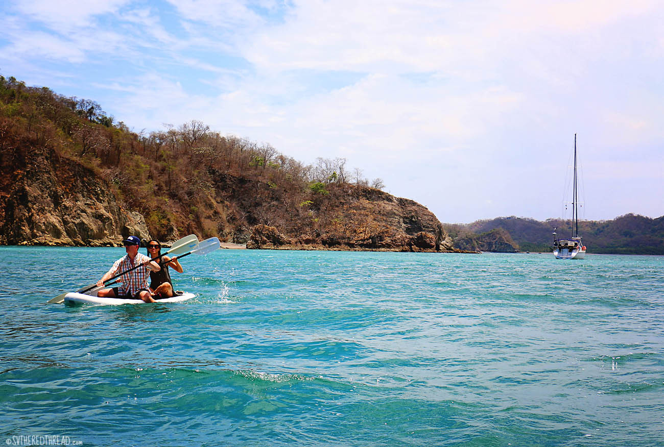
Once again, wind funneled north into the Golfo de Nicoya, directly on our nose, preventing us from making use of our sails. The sky was blue, however, and having friends aboard made motoring less bothersome and the day more beautiful. Leaving Little Jesus and the Cedars, our destination was Islas Tortugas, two islands situated at the mouth of the Golfo de Nicoya, called Alcatraz and Tolinga. We dropped our anchor in the lee of Isla Alcatraz. The warmth of the afternoon sun and the lovely color of the water lulled us into a state of absolute ease. The Tortugas were just as Erlin from s/v Ventured had suggested they would be. As much as we experienced a sense of tranquility, Helen and I were also ambitious to begin exploring almost immediately. I pumped up our iSUP (thanks again, Tower!), tossed a couple beers in a backpack, and we clambered aboard together, transforming our standup paddle board into a two-person “paddleyak.” Off Helen and I went, leaving our men to entertain themselves aboard our ship, while we rowed to the deserted beach a hundred yards away.
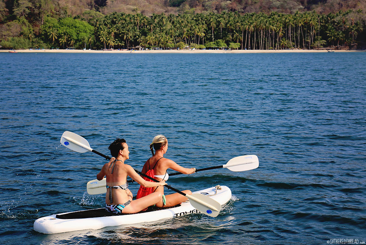 Thousands of lovely shells were strewn about the small beach, and the waning afternoon sun cast a shadow across the sand. We sipped our beer and scavenged for shells. As the surface of the sand cooled, the beach sprung to life with hundreds of tiny hermit crabs. I introduced Helen to hermit crab racing, with as much joy as a child showing off a new toy!
 On island time
Each day, in late morning, boats sped from the mainland to Isla Tolinga and unloaded hordes of tourists. The vacationers would disperse to lounge on the beach, snorkel, or swim. Our little expanse of beach on Isla Alcatraz remained deserted, however, as if it was ours alone.
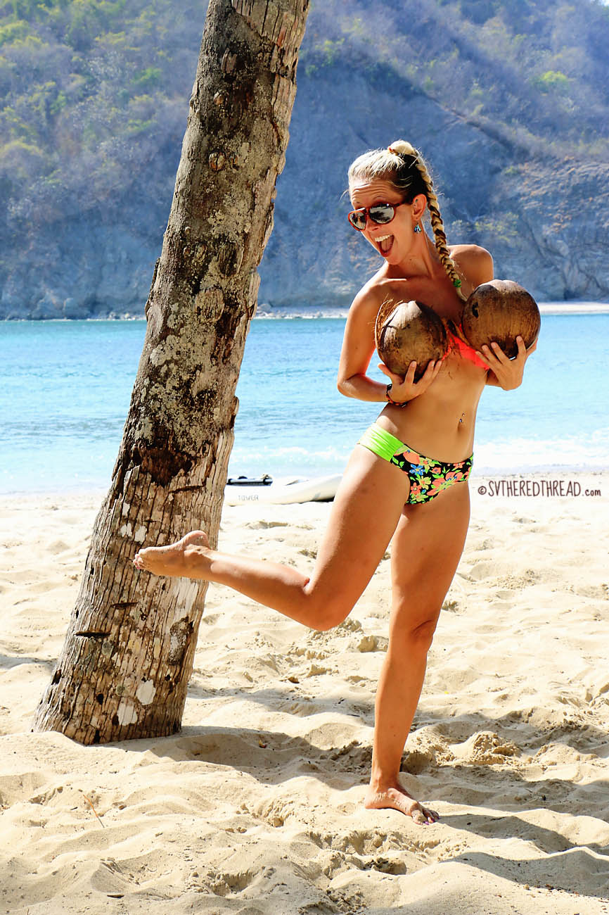
We joined the tourists on Tolinga during our first full day. There, we walked amongst towering palm trees, like ants beneath giraffe legs. They were the tallest palm trees I had ever seen! We strung our tangerine-colored hammock between two of them, and I averted near death when a coconut plummeted from the sky, landing not two feet from my skull! More people are killed by falling coconuts than shark attacks, you know.


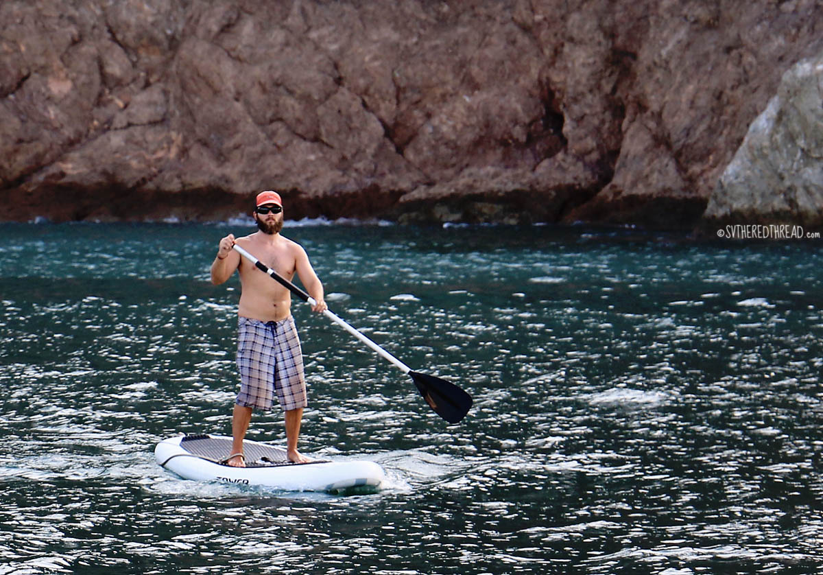
Mark played the guitar; Neil sipped a beer, submerged in tepid saltwater up to his neck; and Helen rested on a blanket in the shade. Nearby, where the diffuse beach foliage morphed into dense jungle scrub, chickens with feathered legs scratched the sand and lazy, wild pigs buried themselves beneath a layer of shaded, damp sand. Our day on Isla Tolinga was among our most enjoyable days of our voyage. Late in the afternoon, a panga anchored near us. Fishermen. Neil paddle boarded over to them, hoping to procure a fish for dinner. Alas, they were resting in preparation to fish during the night and had nothing to sell. They agreed to return the next morning, which they did indeed (at the crack of dawn), with two large snappers, which Mark and Helen generously purchased for dinner. Neil was chef that night. He crafted a tangy soy-honey glaze and grilled the fish whole. Yum!
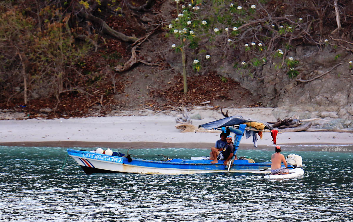
 Snorkeling and a botched dive
On day two, Neil, Helen, and I dinghied to the rock spire where boats ferry tourists to snorkel. We were nearly done with our snorkel by the time the masses arrived, and we zipped back to The Red Thread, feeling spoiled by the gift of sweet solitude that comes with traveling by our own boat. Meanwhile Mark wiled away a few hours of solo time, paddle boarding and playing Neil’s guitar.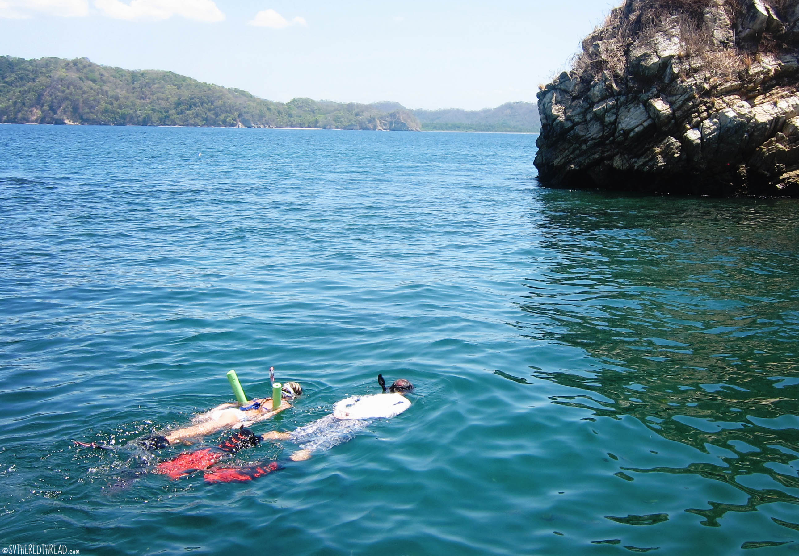
 In the afternoon, Mark and Helen returned to the beach on Isla Tolinga, while Neil and I ventured via dinghy to the southern side of the island to attempt our first scuba dive together. We were disappointed when our dive was thwarted by murky water and my anxiety, both of which had been churned up by heavy surf against the exposed side of the island.
A bit crabby but undeterred, we returned the rock spire where we had snorkeled earlier in the day, determined to dive, even if only to shallow depths.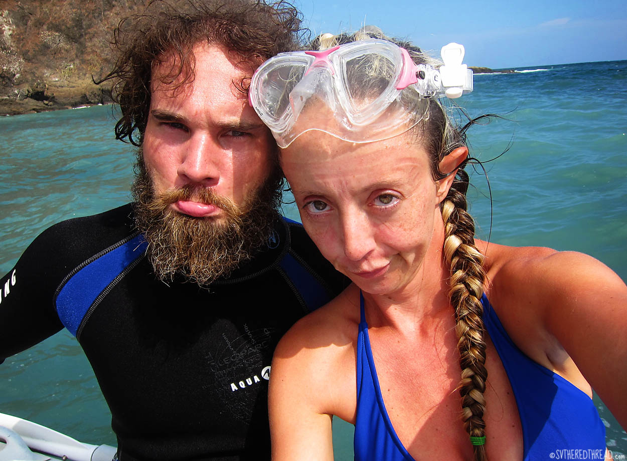 Gratitude and beauty
As darkness crept forth each evening, the blue of the sky was swallowed by voluminous, heavy clouds. The heavens teased us with promises of rain and threatened us with evening electrical storms. A lightning bolt struck so near our boat that its accompanying thunder clap rattled our hearts against our ribs! Phosphorescence in the water delighted our imagination, and the large fish that glowed neon green beneath The Red Thread ignored our attempts to lure them onto our plates with nighttime jigging.
Mark and Helen had settled naturally into our daily rhythm aboard, and during our time in Islas Tortugas, the four of us melted into a peaceful easy existence. We enjoyed good conversation, shared delicious meals, relished spectacular scenery, and the bathed in the rejuvenating waters of the sea. What more could we possibly want…?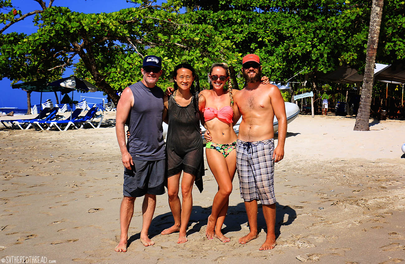 Islas Tortugas anchorage waypoint: 09°46′.73 N 084°53′.77 W

Blog and pics are magical….do you guys fly out from Sea-Tac ? If so, when? We’d like to meet you before you go……we own CM440, hull #17.
LikeLiked by 1 person
Hey Jeff, thanks for the comment. It’s always great to hear from the captain of one of our sister ships 🙂 We are actually in Utah now (we drove here to be with my family on 12/23) and are preparing to fly back to the boat in Costa Rica in less than one week! Sorry we were not able to meet up while we were back in Seattle. We are currently in a mad dash to catch up on blogs and finish our last-minute prep. Cheers, Jessie
LikeLike
Love the Seahawks headwear! Go Hawks!
LikeLiked by 1 person
Hi Jessie,
I met you two years ago in Elliot Bay when we were in the slip next to you. We have been cruising now since May currently in Mazatlan. You do such a beautiful job with your blog. You are my hero. I am trying to start a blog myself but I’m not too good yet. Can you tell me haw you do the maps with the boat track on it? I’d like to do that
LikeLiked by 1 person
Hi Marilyn! Thank you for your comment and kind words. I love to write, but I do a terrible job staying up to date! As you can see, this post is from LAST MAY! Good luck when you start! For my maps, the first thing I do is take a screenshot from Google Maps. Open a blank Word document, click the Insert tab, click the drop-down menu for Screenshot, and then click Screen Clipping. Before you do that, make sure you have the Google Maps image showing just as you’d like to capture it. Then, I right-click the image (which is now in the Word document), and I save it as a JPEG file. I then open it up in Photoshop Elements and draw on the image using paint brush, with the spacing option for the brush set to 227%. I recently learned the latter trick, so my maps are looking cleaner. I imagine you could do something similar in the Paint program, if you don’t have Photoshop. I hope that helps! Please send me you blog when you start it and remind me of the name of your boat. Also, don’t miss stopping at Isla Isabela about 90nm southwest of Mazatlan. It was a highlight of our trip down Mexico (search our blog for the post Enchanting Isabela to read more)! ~Jessie
LikeLike
Thanks for the prompt reply. I will give your instructions a try. I’m not prompt either. I have some drafts done but only one post. When I do do them they will not be in order. I see you are in the cold country. The couple in the slip across from us are from Utah and the young couple next to them are there skiing
When we leave Mazatlan and Isla Isabela will be our first stop.
LikeLike
Pingback: Revenge of the vagabond Brits | s/v The Red Thread
Pingback: Voyage stats: Our months FOUR thru EIGHT | s/v The Red Thread
Pingback: Voyage stats: Months FOUR thru EIGHT | s/v The Red Thread
Pingback: Three sparrows, one family, and a dog with a phantom pregnancy | s/v The Red Thread